Patapsco Valley State Park Trail Map
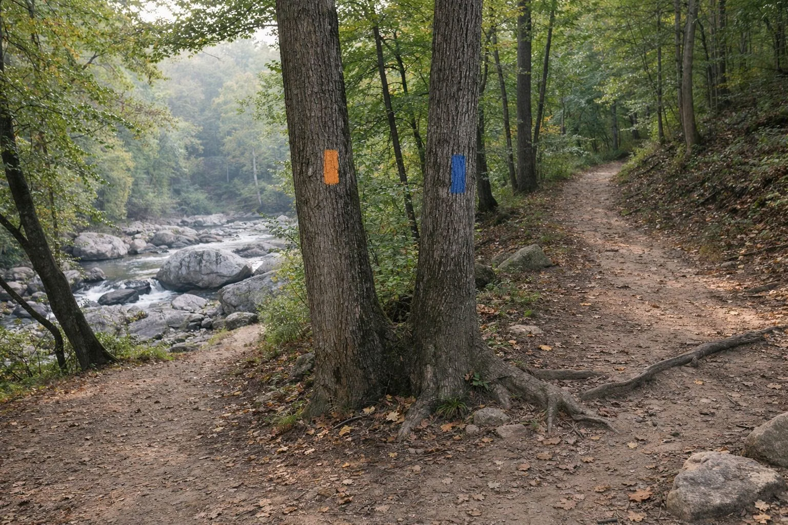
Maryland DNR publishes free official trail maps for Patapsco Valley State Park as PDF downloads: one overview map of the whole park and separate maps for each area, because the areas are not connected by park roads. Download the map for the area you are visiting before you leave home; DNR warns that cell phones are not reliable in the valley. On the maps, a trail's color matches its blaze on the ground.
Maps at a Glance
The Official Maps
All are free PDFs from dnr.maryland.gov (links on DNR's Patapsco page and each area page):
- Overview map: the whole park and where each area sits along the river.
- Avalon, Glen Artney, Orange Grove and Hilton: the southern trail network, including the Grist Mill, Cascade, Ridge, Morning Choice, Santee Branch and Saw Mill Branch trails. Last updated December 2019.
- Hollofield and Pickall: the Ole Ranger, Union Dam, River Ridge and Peaceful Pond trails and the Pickall trails.
- McKeldin and McKeldin North: the Switchback, Rapids, Plantation, Tall Poplar, Spring Glen and Medicine Tree trails.
- Daniels: the single Old Main Line Trail up the river.
- Halethorpe and Belle Grove: the downstream end of the park, past Avalon.
DNR's Patapsco page also has a QR code that links to the most up-to-date maps, and a Maryland Horse Industry Board map covers horse trails. See Hiking for the best trails in each area with mileages.
Reading the Maps
- Colors: each trail is drawn in the color of its blazes.
- Symbols: parking, restrooms, the ranger station, campgrounds, scenic spots and accessible features are marked.
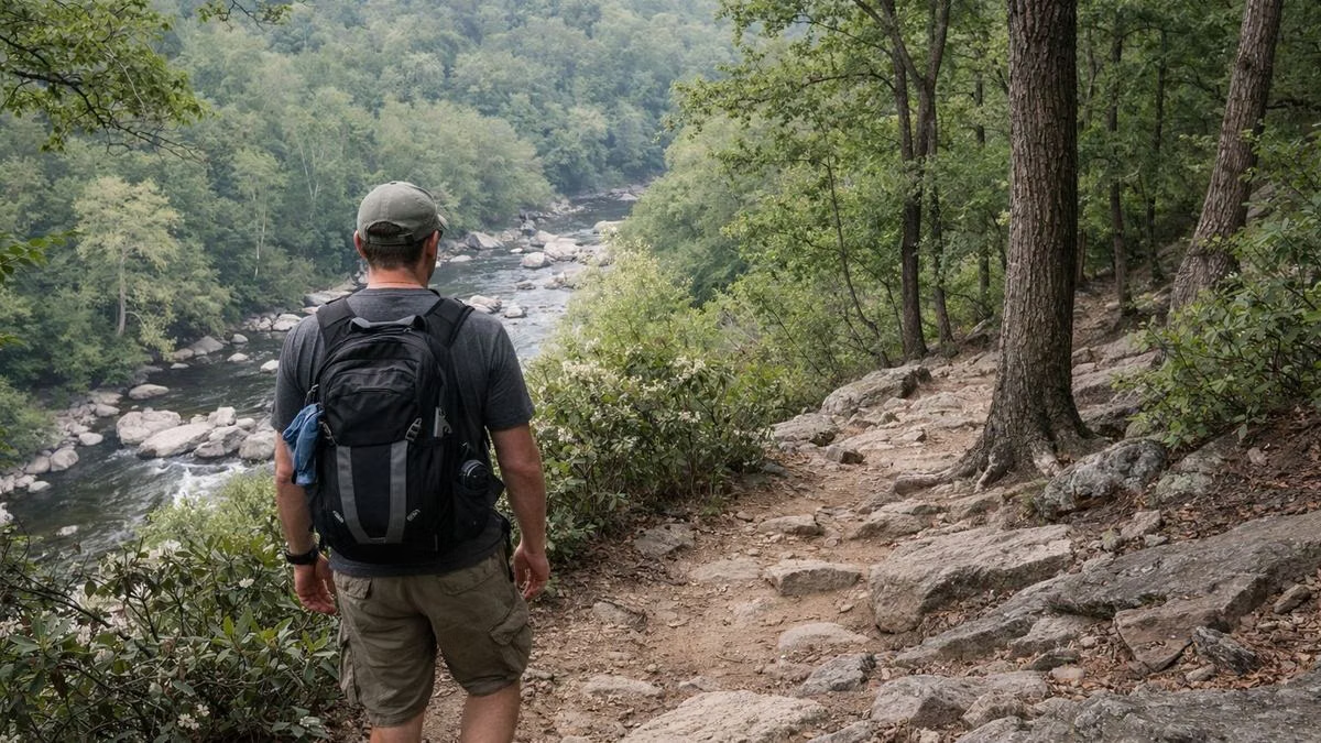
- Contour lines every 40 feet show how steep the valley sides are. Many trails climb from the river to the ridges.
Printing and Phones
DNR's printing guide explains how to print the maps and save them to a phone. Save them before you go, and carry a paper copy for longer hikes.
Trail Mileage
DNR publishes mileage for some trails on its area pages:
- Switchback 4 mi; Rapids 0.7; Plantation 1.4; Tall Poplar 1.4; Spring Glen 0.7; Medicine Tree 0.3 (McKeldin)
- Ole Ranger about 1.5; Union Dam 0.3; River Ridge 0.2; Peaceful Pond 0.1 (Hollofield)
- Santee Branch 2.4; Saw Mill Branch 0.9; Forest Glen 0.6; Charcoal 0.7; Pigs Run 0.2 (Hilton)
- Self-guided hikes: Grist Mill 2.2 mi; Camel's Den loop 2.5; Alberton 3.6
DNR does not publish mileage for the Avalon-area trails other than the Grist Mill hike.
Patapsco Valley State Park Trail Map FAQ
Where can I get a Patapsco Valley State Park trail map?
Free from Maryland DNR as PDF downloads on its Patapsco page: an overview map plus maps for Avalon/Glen Artney/Orange Grove/Hilton, Hollofield/Pickall, McKeldin, McKeldin North, Daniels and Halethorpe.
Is there cell service on Patapsco trails?
DNR warns that cell phones are not reliable in the valley. Download the map before you go.
Do the trail colors on the map match the blazes?
Yes. DNR's map legend says a trail's color indicates its blaze.