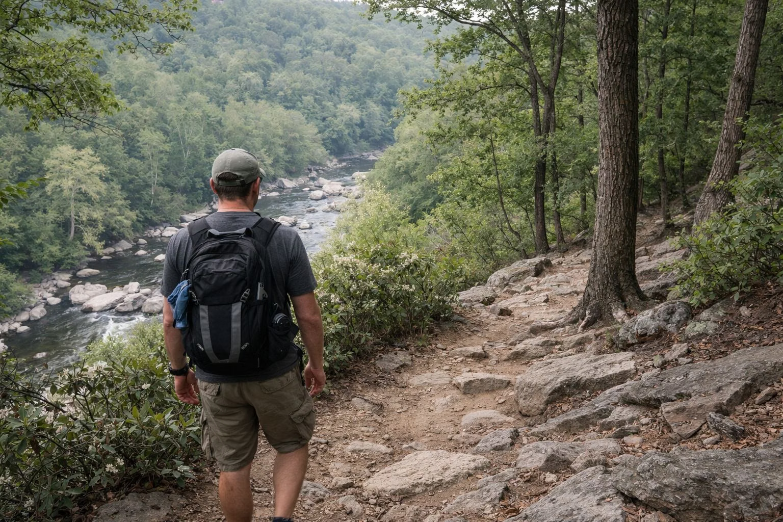
Hiking at Patapsco Valley State Park
Patapsco Valley State Park has more than 200 miles of trails, and DNR maintains 70 of those miles. Some are for hikers only and many are shared with mountain bikers and horseback riders. The trails are spread across separate areas with separate entrances, so pick an area first: Avalon and Orange Grove for the Swinging Bridge, Cascade Falls and the Grist Mill Trail; McKeldin for the 4-mile Switchback Trail and the rapids; Hilton for stream trails; Hollofield for short loops; and Daniels for history hikes off the busy path.
Hiking at a Glance
Avalon, Orange Grove and Glen Artney
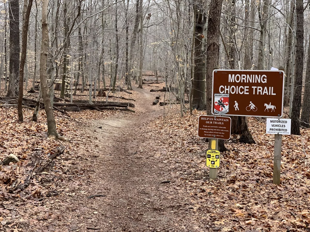
DNR's Avalon map shows the Cascade, Ridge, Valley View, Morning Choice, Old Track Loop, Rockburn, Soapstone, Bull Run and Vineyard Springs trails, plus the river-level Grist Mill Trail.
- Grist Mill Trail: the easy river walk past the Swinging Bridge and mill ruins. DNR's self-guided history hike is 2.2 miles.
- Cascade Trail: a woodland loop on the Orange Grove side to Cascade Falls.
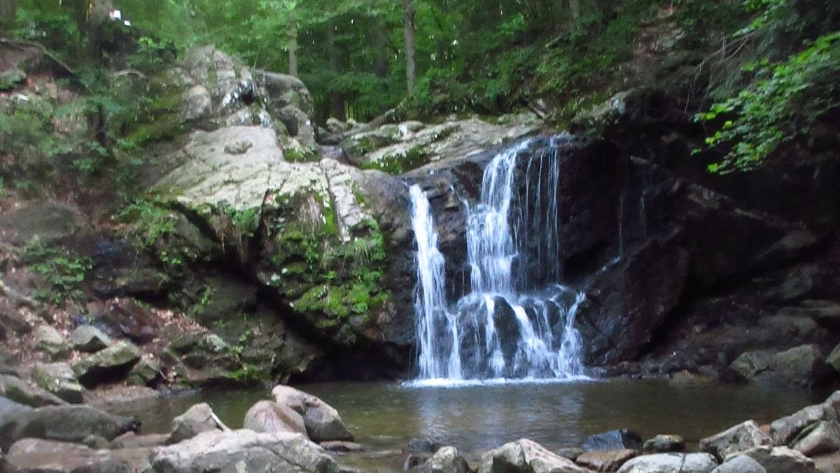
McKeldin
Long multi-use trails, popular with riders and mountain bikers.
- Switchback Trail (4 miles): along the river from the contact station; the northern part is foot traffic only. Liberty Dam Overlook at the end in late fall and winter.
- Rapids Trail (0.7 mile): to the McKeldin Rapids and the deep pool below (no swimming).
- Plantation Trail (1.4 miles): steep, through pine groves on a high ridge.
- Tall Poplar Trail (1.4 miles): river to hardwood forest to open fields.
- Spring Glen Trail (0.7 mile) and Medicine Tree Trail (0.3 mile): short loops.
See McKeldin Area.
Hilton
- Saw Mill Branch Trail (0.9 mile): follows a stream past pools and glades, with boulder hopping in the streambed.
- Santee Branch Trail (2.4 miles): to Glen Artney, popular with mountain bikers.
- Forest Glen Trail (0.6 mile): hikers only, very steep in places, down to the Grist Mill Trail.
- Charcoal (0.7 mile) and Pigs Run (0.2 mile) connect the others.
DNR suggests linking Santee Branch with the Vineyard Springs, Grist Mill and Saw Mill Branch trails for a 4.5-mile loop. See Hilton Area.
Hollofield
Short and easy to fit into a lunch break: the Ole Ranger Trail loop (about 1.5 miles), the Peaceful Pond Trail (0.1 mile), and the Union Dam (0.3 mile) and River Ridge (0.2 mile) trails down to the river. See Hollofield Area.
Daniels
Hiking past the ruins of a mill town, including a trail DNR calls one of the least traveled in the valley.
- Old Main Line Trail: upstream along the river on the 1831 B&O railroad route.
- Camel's Den loop (2.5 miles): a small cave, a steep climb to a ridge with river views, and a return on the old railbed. DNR calls it one of the least traveled trails in the valley.
- Alberton hike (3.6 miles): an abandoned road to church ruins and views of the old Daniels factory.
See Daniels Area.
Trail Tips From DNR
- Wear proper footwear, and carry water, a snack, a first-aid kit, rain gear, bug spray and a whistle.
- Know your route and tell someone your plan. Cell phones are not reliable in the valley.
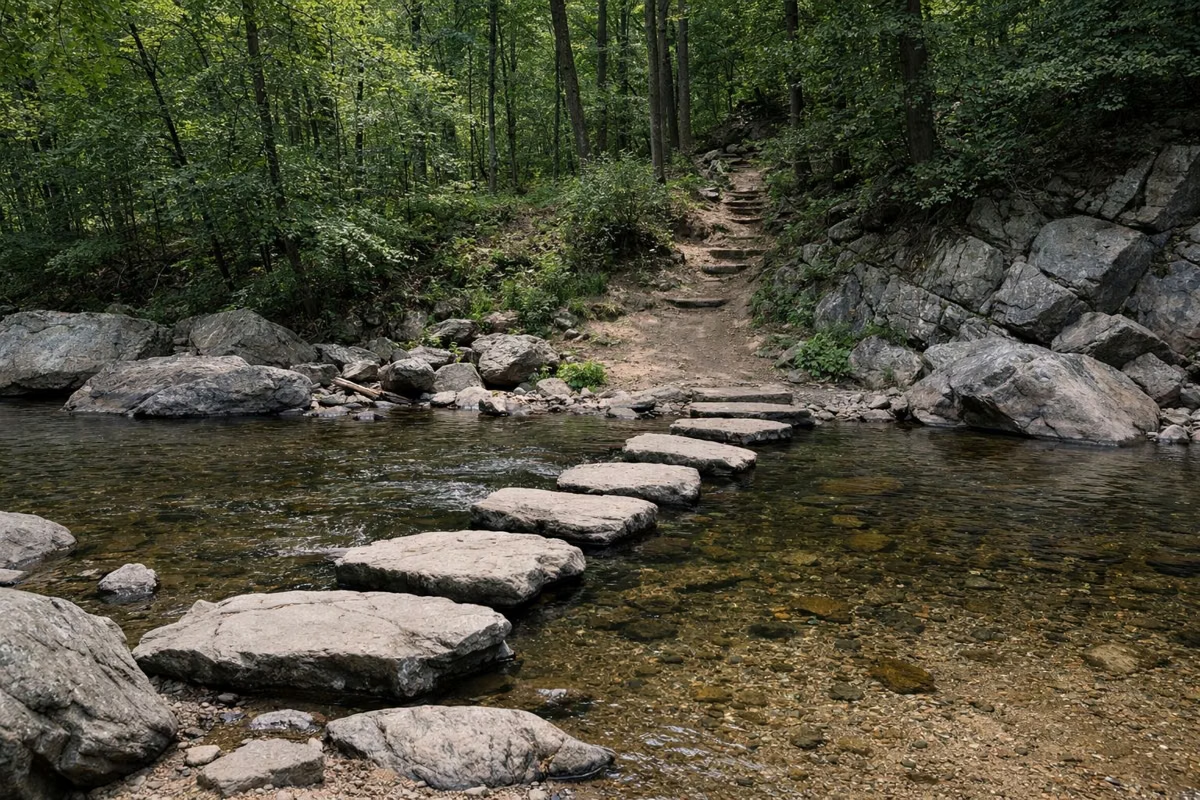
- Many stream crossings are stepping stones with no bridge, so your feet may get wet.
- Wait at least 24 hours after rain before using the trails; wet trails get damaged.
- On shared trails, follow the trail-courtesy (yield) signs DNR posts.
- Horses must stay on designated trails and roads.
- Download the maps first: Trail Map.
Good For / Maybe Skip If
Good for: a different trail system every visit; mountain biking and riding at McKeldin and Hilton; history on foot. Maybe skip if: you need a single connected loop through the whole park. No park roads link the areas, and each has its own entrance and fee.
Hiking at Patapsco Valley State Park FAQ
How many miles of trails are in Patapsco Valley State Park?
DNR says more than 200 miles, with 70 of those miles maintained. Some trails are hiker-only and others are shared with bikes and horses.
What is the best hike at Patapsco Valley State Park?
For a first visit, the Grist Mill Trail and Swinging Bridge in Orange Grove, plus the Cascade Trail to Cascade Falls. For a longer, quieter hike, try the 4-mile Switchback Trail at McKeldin or the Camel's Den loop at Daniels.
Can you mountain bike at Patapsco?
Yes, on multi-use trails. DNR mentions mountain bikers on the Santee Branch Trail at Hilton and the Switchback Trail at McKeldin.
Are horses allowed on Patapsco trails?
Yes, in all areas but only on designated trails and roads. McKeldin's trails are especially popular with riders.