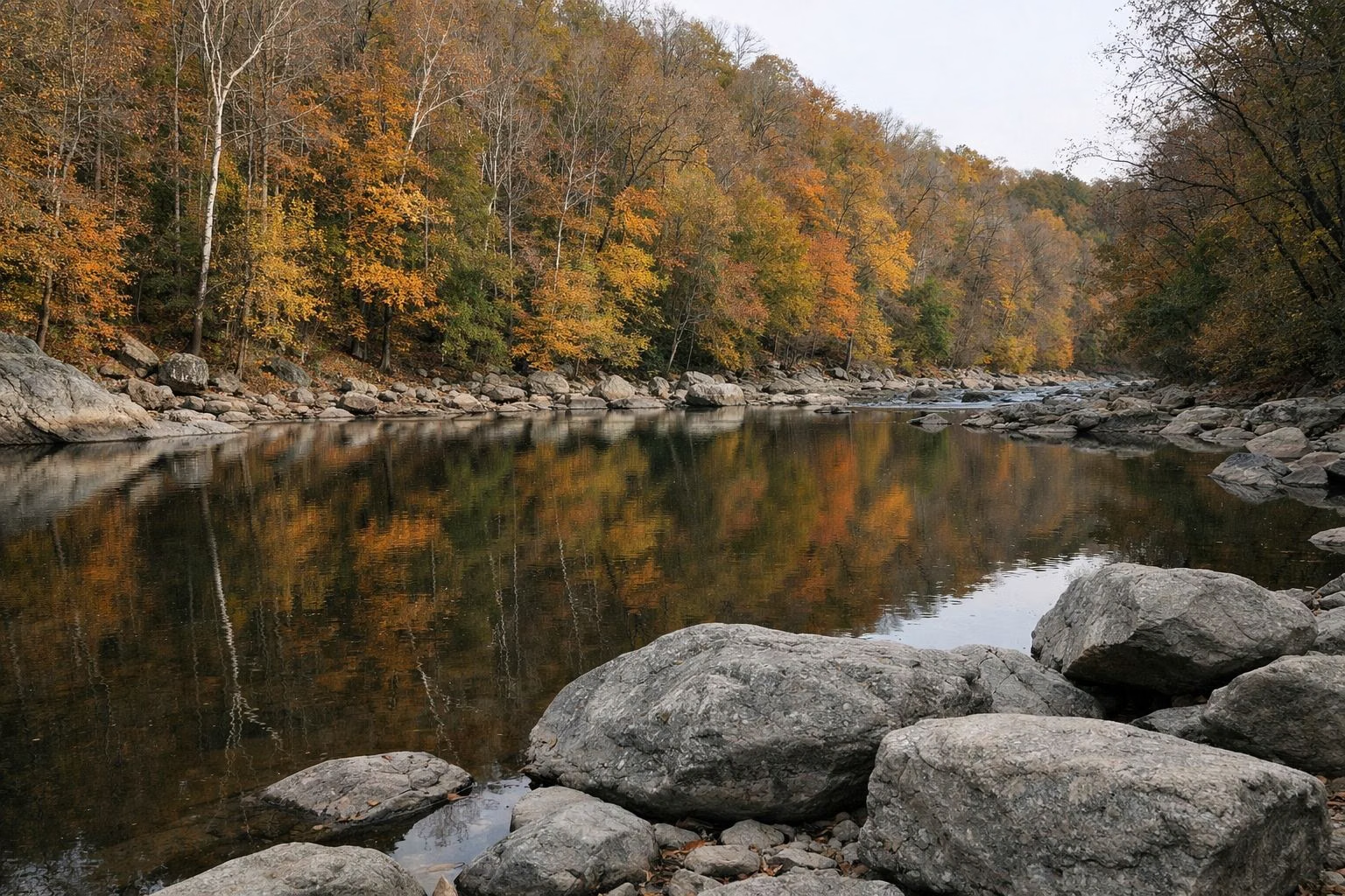
Patapsco Valley State Park —
Your Complete Guide
Maryland's oldest state park: 16,043 acres along 32 miles of the Patapsco River, with the Swinging Bridge, Cascade Falls, the Thomas Viaduct and more than 200 miles of trails.
What is Patapsco Valley State Park?
Patapsco Valley State Park is Maryland's oldest state park, founded in 1907. It covers 16,043 acres along 32 miles of the Patapsco River near Ellicott City and Catonsville, with more than 200 miles of trails, the Swinging Bridge, Cascade Falls and the 1835 Thomas Viaduct. It is open 9 a.m. to sunset. From April to October, Maryland residents pay $2 per car on weekdays and $3 per person on weekends. Leashed dogs are welcome in most areas.
The park is not one place but a string of separate areas, each with its own entrance, and no park roads connect them. Avalon, Orange Grove and Glen Artney share the southern entrance off U.S. Route 1. Hollofield, on Route 40, has the headquarters and the big campground. McKeldin, in Marriottsville, has the rapids and disc golf. Hilton, in Catonsville, has cabins and a tire playground. Daniels is the quiet upstream area. Pickall is for shelter renters only.
Two things to plan for. On busy weekends, Maryland DNR closes Avalon, Hollofield and the Daniels Trailhead to new cars once they are full, so arrive early and carpool (parking guide). And the river is unguarded: swimming is at your own risk, and the McKeldin Rapids are closed to swimmers (swimming guide).
Patapsco Valley State Park at a Glance
The Areas of Patapsco Valley State Park
Each area has its own entrance and its own character. Pick one before you go.

Avalon & Orange Grove
The Thomas Viaduct, the Swinging Bridge, Cascade Falls and the Grist Mill Trail, all from one entrance on South Street.
Area Guide →
Hollofield
Park headquarters, a 73-site campground, CCC-built shelters and one of the best views of the valley.
Area Guide →
McKeldin
Where the river's two branches meet: the McKeldin Rapids, an 18-hole disc golf course and the 4-mile Switchback Trail.
Area Guide →
Hilton
6 camper cabins, 12 tent sites, a 2-acre tire playground and the nature center in Catonsville.
Area Guide →
Camping
Campsites from $18.50, electric sites $24.50 and cabins $50.50 (base rates). Reserve with the Maryland Park Service.
Sites & Rates →
Daniels
Two miles of flat water behind Daniels Dam, spring trout, and the ruins of a mill town lost to Tropical Storm Agnes.
Area Guide →Trails at Patapsco
Maryland DNR counts more than 200 miles of trails, 70 of them maintained, shared by hikers, mountain bikers and riders.
The river walk past the Swinging Bridge, the Orange Grove mill ruins and the Bloede Dam site.
A woodland loop from the Orange Grove lot, the way to Cascade Falls.
A riverside trail from the contact station to the Liberty Dam Overlook; the north end is foot traffic only.
A long connector that follows a power line; with the Vineyard Springs, Grist Mill and Saw Mill Branch trails it makes a 4.5-mile loop.
How to Get to Patapsco Valley State Park
There is no single entrance. Choose your area, then use its address.
Avalon Entrance
5120 South Street, Halethorpe, off U.S. Route 1 north of Elkridge. For the viaduct, Swinging Bridge and Cascade Falls. All addresses.
Park Headquarters
8020 Baltimore National Pike, Ellicott City, MD 21043 (Hollofield Area). Phone 410-461-5005.
Busy Weekends
Avalon, Hollofield and the Daniels Trailhead close when full. Arrive early and carpool. Planning tips.
Landmarks in the Park
The Thomas Viaduct, finished in 1835, is the world's largest multiple-arched stone railroad bridge with a curve and still carries trains. The site of Bloede Dam, believed to be the world's first submerged hydroelectric plant, is a mile above Orange Grove. Daniels Dam has a fish ladder and exhibit. The park's history runs from colonial forges to the B&O Railroad and the CCC.
Frequently Asked Questions
How much does it cost to get into Patapsco Valley State Park?
From April to October, Maryland residents pay $2 per car on weekdays and $3 per person on weekends and holidays; out-of-state visitors pay $4 per car or $5 per person. From November to March an honor system charges $2 or $4 per car. The $75 annual Maryland passport covers entry.
What are Patapsco's hours?
9 a.m. to sunset, every day. Sunset times are posted at the entrances. The Pickall Area opens only to shelter renters on summer weekends and holidays.
How do I get to the waterfall at Patapsco State Park?
Enter the Avalon Area at 5120 South Street, Halethorpe, drive about 1.6 miles to the Orange Grove lot by the Swinging Bridge, and take the Cascade Trail to Cascade Falls.
Are dogs allowed at Patapsco?
Yes, on a leash, in Avalon, Orange Grove, Glen Artney, McKeldin, Daniels, Hollofield (including its campground) and Hilton's day-use area. Not in the Pickall Area.
Is it safe to swim in Patapsco?
Swimming is allowed at your own risk except where posted, but there are no lifeguards and DNR warns of strong currents. The McKeldin Rapids, the pool below them and the water within 300 feet of dams are closed.
Can you camp at Patapsco?
Yes. Hollofield has 73 campsites, some with electric, and Hilton has 12 tent sites and 6 camper cabins. Reserve at parkreservations.maryland.gov.
How big is Patapsco Valley State Park?
16,043 acres along 32 miles of the Patapsco River, with eight developed areas, according to Maryland DNR.