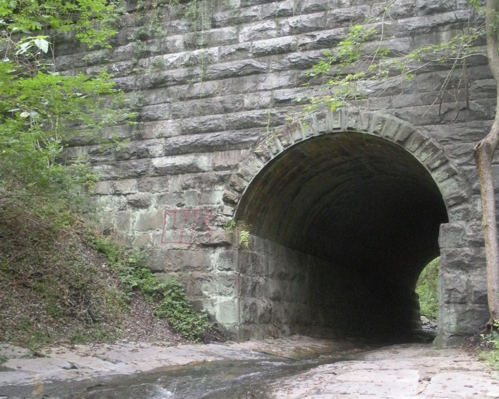
Grist Mill Trail
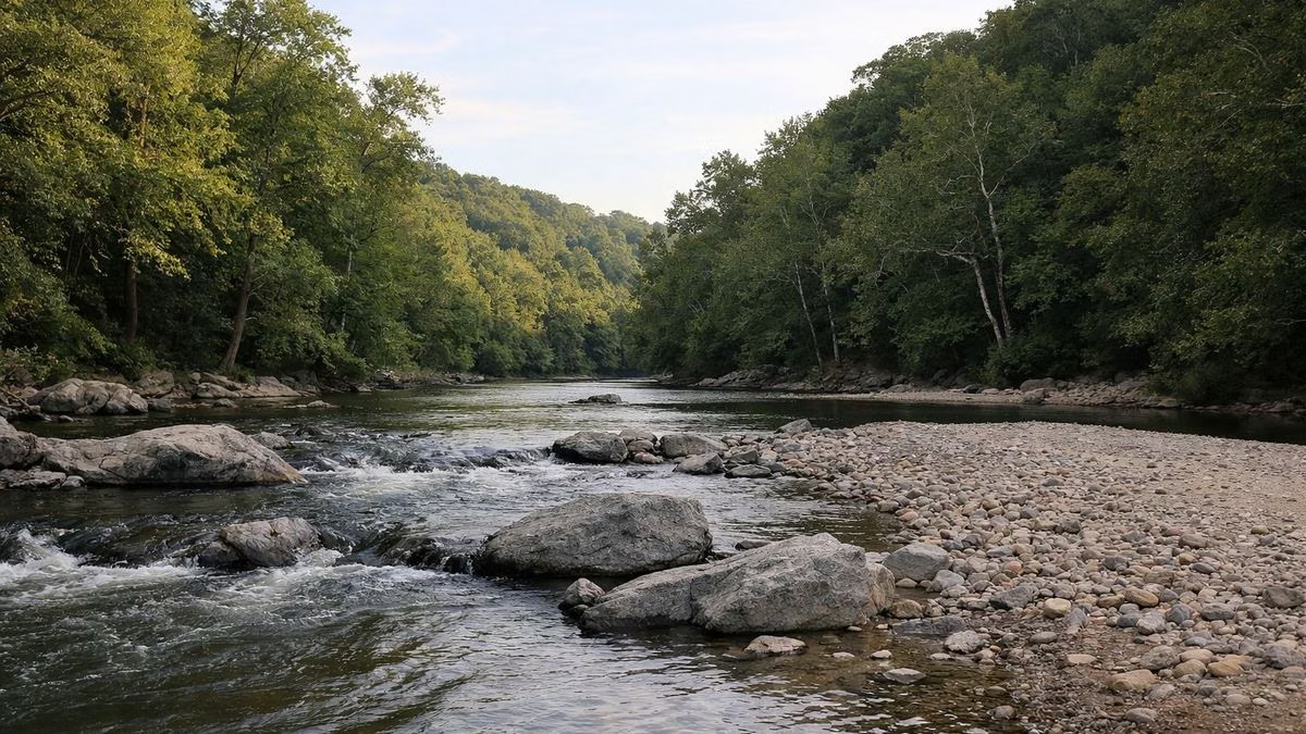
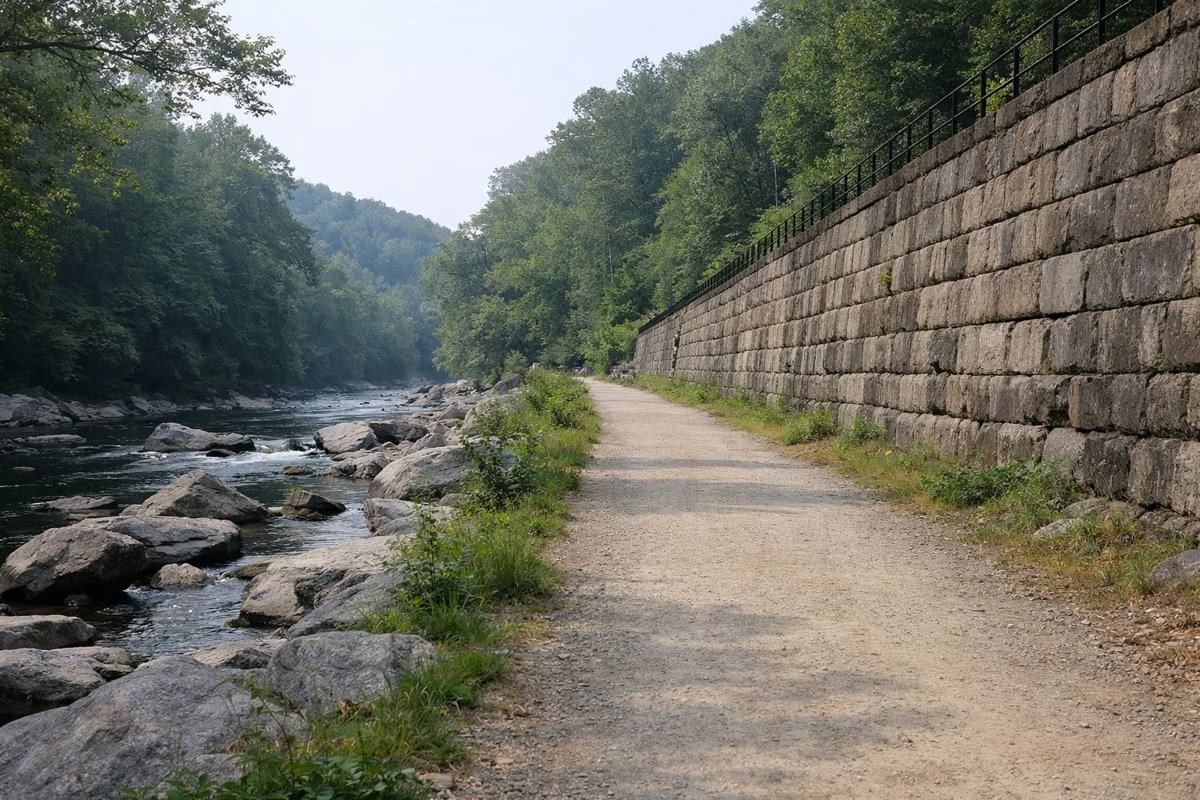
The Grist Mill Trail follows the Patapsco River through the Avalon and Orange Grove areas of Patapsco Valley State Park. Its eastern end is at the far end of the Lost Lake parking lot in Avalon, and its western end is the cable-stay footbridge on the old Patterson Viaduct abutment at Ilchester. Along the way it passes the Swinging Bridge, the ruins of the Orange Grove flour mill and the site of Bloede Dam. DNR's self-guided history hike along the trail is 2.2 miles. Enter at the Avalon gate, 5120 South Street, Halethorpe; the park is open 9 a.m. to sunset.
Grist Mill Trail at a Glance
Where to Start
Drive in through the Avalon entrance off U.S. Route 1 (see Parking & Directions). You can start at the eastern end, at the end of the Lost Lake parking lot in Glen Artney, or park at Orange Grove, where the Swinging Bridge and the history hike begin. Weekend lots fill early. The usual Avalon entry fee applies (Hours & Fees).
DNR's Avalon map marks the Grist Mill Trail with its accessible-feature symbol. Ask the park office at 410-461-5005 about current conditions for wheelchairs and strollers, since floods have damaged this valley floor more than once.
What You Pass
The tanker truck. Between Avalon and Orange Grove, the remains of a tanker truck sit on the riverbank where Tropical Storm Agnes dropped it in June 1972. The river rose as much as 30 feet above normal in places during that flood.
Orange Grove. The Orange Grove parking lot stands where a small mill town did around 1900: seven houses and a church that doubled as a school, home to 43 people, 20 of them children. The flour mill across the river owned all but one of the houses.
The Swinging Bridge. Mill workers crossed here to their jobs. Without a bridge, DNR notes, they had to travel two miles upriver to Ilchester and ride a train back down. The bridge has been replaced three or four times after floods and ice. See Swinging Bridge.
The flour mill ruins. Across the bridge are the remains of the Orange Grove mill of the C.A. Gambrill Manufacturing Company, begun in the late 1850s. A steam engine came in 1873 and steel roller mills about ten years later, and by the 1890s Orange Grove was one of the most productive flour mills east of the Mississippi. A fire on May 1, 1905, destroyed it. Look for the bigger, more rectangular stones of the seven-story grain elevator, and the chute where rail cars unloaded coal and grain.
B&O stonework. Past the Sawmill Branch stream, granite-block retaining walls hold up the railroad, built by hand in the late 1820s for the Baltimore & Ohio, America's first commercial railroad. Further on, look down for stone "sleepers": the original 1830s track, set on stone blocks instead of wooden ties, with rails 4 feet 8½ inches apart, the gauge that became standard across the country.
Bloede Dam. About a mile upstream from Orange Grove is the site of Bloede Dam, believed to be the world's first submerged hydroelectric plant. It was removed to reopen the river to migratory fish. See Bloede Dam.
Patterson Viaduct. The trail ends at Ilchester, at what is left of the Patterson Viaduct, a four-arch stone railroad bridge from 1829 that spanned 375 feet. A flood in 1866 swept away three of its arches. Today the remaining abutment and arch hold the cable-stay footbridge that forms the trail's western end.
Side Trails
From the western end, the Saw Mill Branch Trail climbs along a stream toward the Hilton Area, and the steep Forest Glen Trail climbs to the Hilton tire playground. A side trail from the Ilchester Rocks overlook looks down on the site of the Thistle cotton mill, founded in the 1830s. See Hiking and Hilton Area.
Good For / Maybe Skip If
Good for: history along an easy river walk; a first visit with kids; seeing the Swinging Bridge without a long hike. Maybe skip if: you want hills and solitude. Avalon, where the trail starts, often fills to capacity on summer weekends. Try the McKeldin Area or the Daniels Area instead.
Dogs and Bikes
Dogs are allowed in Avalon, Orange Grove and Glen Artney on a leash. DNR's history notes mention bikers on the trail, and its Avalon pages point riders to the River Road for reaching the Bloede Dam site on foot or by bicycle.
Grist Mill Trail FAQ
Where does the Grist Mill Trail start?
The eastern end is at the end of the Lost Lake parking lot in the Avalon Area (enter at 5120 South Street, Halethorpe). The western end is the cable-stay footbridge at the Patterson Viaduct site at Ilchester.
How long is the Grist Mill Trail?
DNR does not publish a total length. Its self-guided history hike along the trail, starting at Orange Grove, is 2.2 miles.
Is the Grist Mill Trail accessible?
DNR's Avalon trail map marks it with the accessible-feature symbol. Call the park at 410-461-5005 for current conditions before you go.
Can you see the Swinging Bridge from the Grist Mill Trail?
Yes. The trail passes the Swinging Bridge at Orange Grove, and the self-guided history hike starts there.
Are dogs allowed on the Grist Mill Trail?
Yes, on a leash. Dogs are allowed throughout the Avalon, Orange Grove and Glen Artney areas.