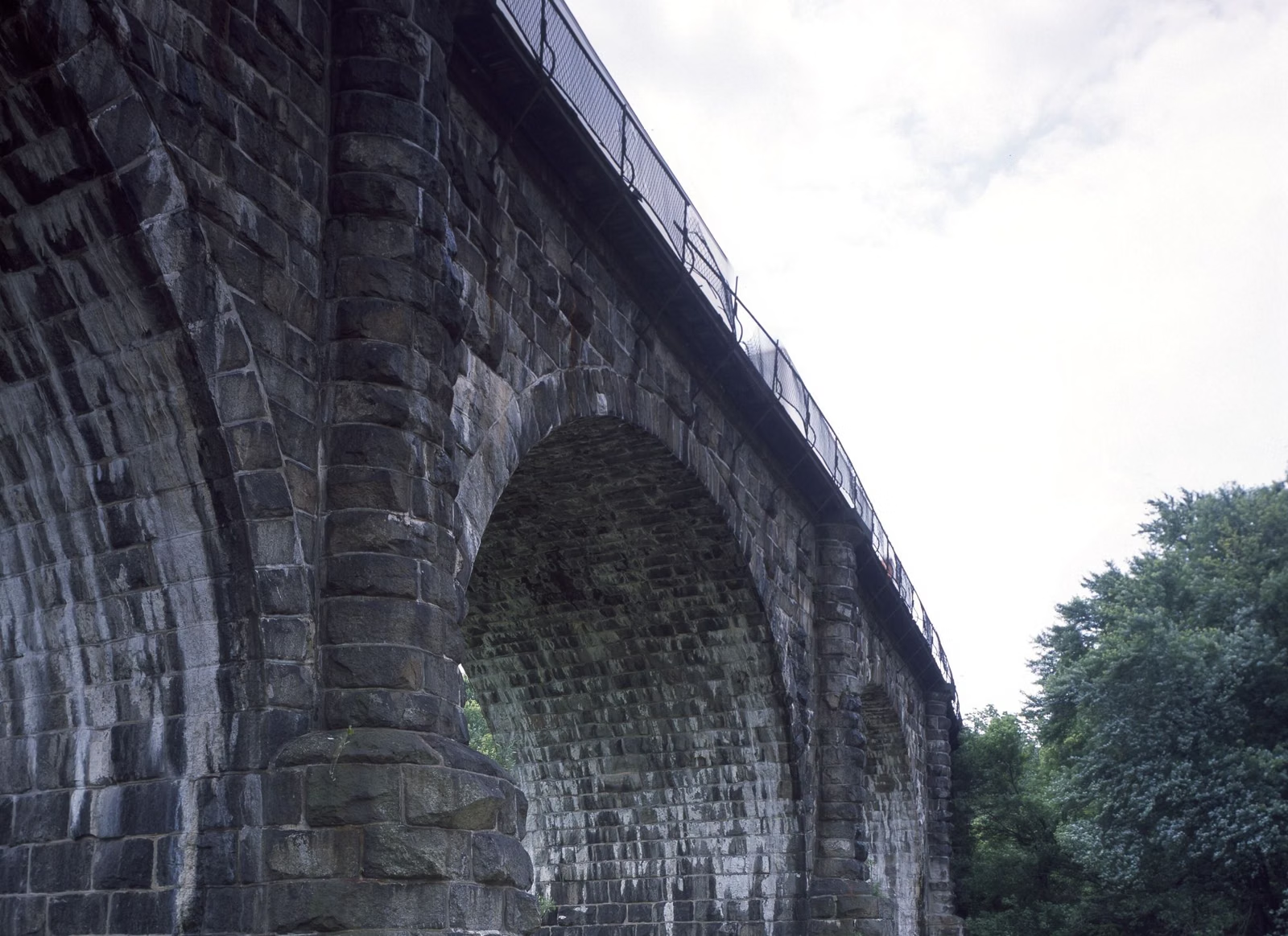
The Thomas Viaduct
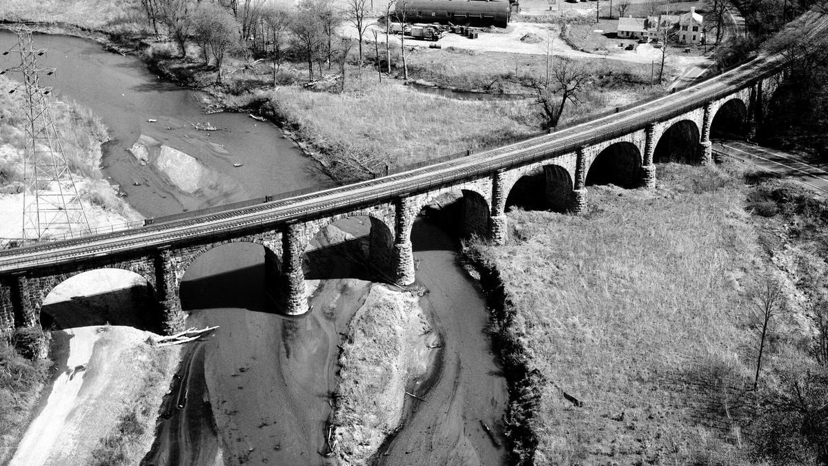
The Thomas Viaduct is a curved stone railroad bridge over the Patapsco River at the southern end of Patapsco Valley State Park, between Relay and Elkridge. It was completed in 1835, and Maryland DNR calls it the world's largest multiple-arched stone railroad bridge with a curve. Trains still cross it. The easiest place to see it is the park's Avalon entrance on South Street, off U.S. Route 1: park in front of the contact station and walk the road a short way, minding the blind curve.
Thomas Viaduct at a Glance
How to See It
Turn off U.S. Route 1 onto South Street just north of Elkridge and follow the Park Entrance Road to the contact station (ranger station). The viaduct is in view behind it, and an interpretive sign stands at the station. DNR says to park in the driveway in front of the station and walk the road carefully to look at the bridge, keeping in mind the blind curve. The usual Avalon entry fee applies (Hours & Fees).
The viaduct is an active railroad. Look from the park, never from the tracks.
Why It Matters
The bridge is named for Philip E. Thomas, the first president of the Baltimore & Ohio Railroad, America's first commercial railroad. The B&O built its early lines in stone so they would last, and the Thomas Viaduct is the proof: almost two centuries on, it still carries trains. DNR's list of valley firsts adds two more: in 1844 the first telegraph line between Washington and Baltimore ran through the valley here, and in 1845 President-elect James Polk rode a train from Relay to Washington, the first president-elect to take a train to his inauguration. Relay itself, at the north end of the bridge, was the first town created by an American railroad.
The Civil War at Relay
On May 5, 1861, Union Brigadier General Benjamin F. Butler occupied Relay with the 6th Massachusetts and 8th New York regiments (2,080 men) and a battery of Boston light artillery. Cannons went on the hills above the viaduct: the emplacements on the Baltimore County side were called Fort Dix, those on the Howard County side Camp Essex, and the base Camp Relay. The bridge and the junction gave Washington its only direct rail link to the North, and holding them helped secure Baltimore for the Union.
Nearby
- Avalon, Orange Grove and Glen Artney: picnic areas, playgrounds and trails just past the viaduct.
- Grist Mill Trail: a river walk lined with more early B&O stonework.
- History of the park: from colonial forges to Maryland's first state park.
The Thomas Viaduct FAQ
Where can I see the Thomas Viaduct?
From the Avalon Area of Patapsco Valley State Park. Turn off U.S. Route 1 onto South Street north of Elkridge, drive to the contact station, park in front of it, and walk the road carefully to view the bridge.
When was the Thomas Viaduct built?
It was completed in 1835 for the Baltimore & Ohio Railroad.
Is the Thomas Viaduct still used?
Yes. Trains still cross it. View it from the park, not from the tracks.
Who is the Thomas Viaduct named after?
Philip E. Thomas, the first president of the Baltimore & Ohio Railroad.