McKeldin Area
The McKeldin Area is the northern end of Patapsco Valley State Park, at 11676 Marriottsville Road in Marriottsville, Maryland, in Carroll County. Here the main and south branches of the Patapsco River meet. It is known for the McKeldin Rapids, an 18-hole disc golf course, long multi-use trails popular with horseback riders and mountain bikers, and youth group camping. Swimming is not allowed at the rapids or in the pool below them because of dangerous currents. The area is open from 9 a.m. to sunset.
McKeldin at a Glance
How to Get There
From I-695 or I-70 West, take I-70 to Marriottsville Road (Exit 83) and go north four miles; the entrance is on the right. From I-70 East, take Route 40 to Marriottsville Road, turn left and go five miles to the entrance on the right. From Route 26, take Marriottsville Road south four miles; the entrance is on the left.
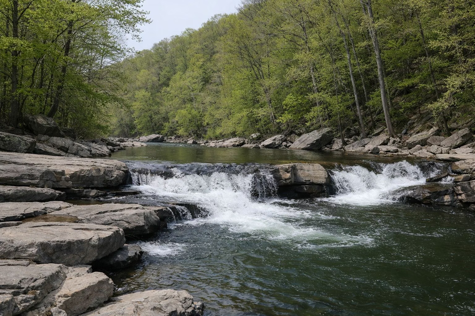
The McKeldin Rapids
The rapids run along the south branch of the river, a cascade that pours into a large, deep pool. DNR calls them beautiful but dangerous, and the rapids and the pool below are closed to swimming because of strong undercurrents. The 0.7-mile Rapids Trail leads there from the southern end of the area or from the Switchback Trail. It is a good fishing spot.
The exposed rocks by the rapids are a favorite sunning spot for snakes, including the northern water snake and the occasional copperhead, one of only two venomous snakes in Maryland. Leave them alone; Maryland law protects all native snakes.
Disc Golf
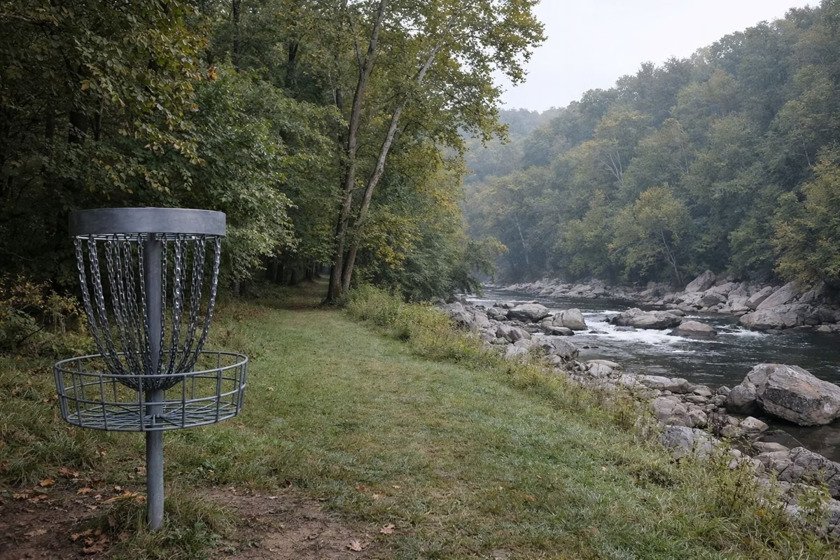
McKeldin's disc golf course is nationally known, according to DNR. Its 18 holes run through wooded fairways and open fields, with pin placements that challenge beginners and pros alike.
Trails
- Switchback Trail (4 miles): starts by the contact station near the entrance and follows the river. Hikers, mountain bikers and horses share it, but the northern part is foot traffic only; riders loop back on the Plantation Trail. In late fall and winter there is a view from the Liberty Dam Overlook at its end.
- Rapids Trail (0.7 mile): to the rapids and the deep pool below them.
- Plantation Trail (1.4 miles): a steep equestrian favorite from the basketball courts, through pine groves along one of McKeldin's highest ridges.
- Tall Poplar Trail (1.4 miles): from Shelter #576 or across from the basketball courts, named for its tulip poplars, linking riverside, hardwood forest and open fields.
- Spring Glen Trail (0.7 mile): a loop across the lane from the contact station.
- Medicine Tree Trail (0.3 mile): a short, rocky loop from the youth group camping lot, with a bridge over a deep ravine. DNR's guide covers the traditional uses of the trees along it.
DNR posts two McKeldin maps, one for the main area and one for McKeldin North (see Trail Map).
Horseback Riding
McKeldin's trails are especially popular with riders. Besides several miles of maintained trails, there are miles of unmaintained ones. Park horse trailers in the field next to the basketball court. Horses must stay on designated trails and roads.
Picnic Shelters
McKeldin has ten rental shelters plus an open group area. The largest, #576, holds 175 guests and #501 holds 100; both can get alcohol permits in advance. The rest hold 10 to 20, and #600 is an uncovered area for 40. Inflatables and water play equipment are not allowed. See Picnic Shelters.
Youth Group Camping
McKeldin has youth group camping. Groups arriving after sunset must call park headquarters at 410-461-5005 the day before, Monday to Friday, 8:30 a.m. to 4 p.m., because the gates lock at sunset. A Maryland Park Service youth group pass is required. See Camping.
Fishing
Where the north and south branches meet, fast water and shallow pools make for good trout fishing in spring, according to DNR. See Fishing.
Dogs, Fees and Restrooms
Dogs are allowed in the McKeldin Area on a leash at all times. Entry fees match the rest of the park (see Hours & Fees). From November 1 to April 1, the open restroom is by the contact station.
McKeldin Area FAQ
Can you swim at McKeldin Rapids?
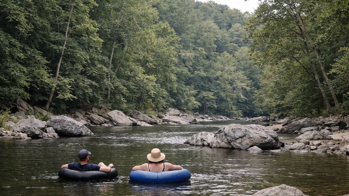
No. DNR closes the rapids and the pool below them to swimming because of dangerous currents. Unguarded swimming is allowed elsewhere along the river unless posted.
Where is the McKeldin Area?
At 11676 Marriottsville Road, Marriottsville, MD 21104, in Carroll County. From I-70 take Exit 83 and go north four miles on Marriottsville Road.
Does Patapsco have a disc golf course?
Yes. The McKeldin Area has an 18-hole disc golf course through wooded fairways and open fields.
How long is the Switchback Trail?
About 4 miles. It starts by the contact station and follows the river; the northern part is for hikers only.
Are dogs allowed at McKeldin?
Yes, on a leash at all times.